Flood maps are often talked about as if they are one thing, but there are two very different map types that matter for property owners.
One helps you understand current flooding and short-term risk. The other defines official flood zones used for insurance, building standards, and lender requirements.
Knowing which map you are looking at is the first step to using it correctly.
Two Flood Map Types You Should Know
1) Flood forecasts and real-time conditions
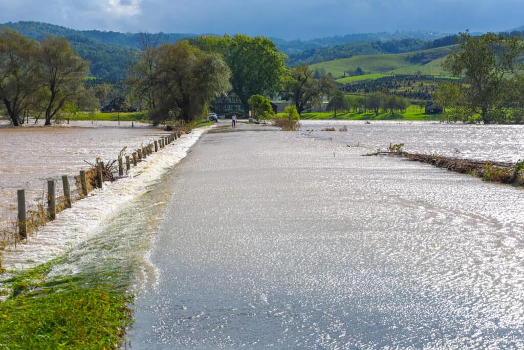
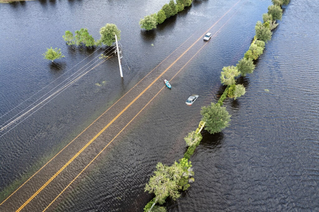
These maps show where flooding is happening now or may happen soon based on rainfall, river levels, and forecasts. The National Weather Service modernized these tools in 2024 with the National Water Prediction Service (NWPS), which replaced the older AHPS pages.
These maps are useful for:
- Tracking river and stream forecasts in your area
- Understanding local flood alerts and timing
- Making short-term decisions during storms
Think of NOAA flood tools as short-term awareness. They help you react.
2) FEMA flood zones and official flood maps
FEMA flood maps are regulatory tools. They support the National Flood Insurance Program and are commonly used by lenders and communities to understand official flood hazards. FEMA provides public access through the Flood Map Service Center.
These maps are useful for:
- Determining your flood zone
- Understanding whether a lender may require flood insurance
- Reviewing flood hazard products tied to your address
FEMA also publishes flood hazard data through the National Flood Hazard Layer (NFHL), which represents current effective flood hazard information where maps have been updated and modernized.
Think of FEMA flood maps as long-term planning. They help you understand formal risk classifications.
How to Check Flooding Risk Right Now
If you are trying to understand active or near-term flood risk, start with NOAA’s National Water Prediction Service.
NWPS provides river observations, forecasts, and flood-related mapping tools designed to be more modern and mobile-friendly than the older systems.
This is especially useful during:
- Heavy rain events
- Hurricane remnants moving inland
- Rapid snowmelt
- Multi-day storm systems
How to Find Your FEMA Flood Zone
If you are trying to understand insurance and mortgage requirements, use FEMA’s Flood Map Service Center to search your address and view official flood hazard products.
Flood zones generally fall into broader categories:
High-risk zones (often in SFHAs)
These areas have a higher likelihood of flooding, including zones that begin with A or V. FEMA defines Special Flood Hazard Areas (SFHAs) as areas with at least a 1-percent annual chance of flooding.
Moderate-to-low risk zones
These are often labeled Zone X and indicate lower mapped flood risk, though flooding can still occur outside high-risk zones.
Flood zones can change over time as communities develop, drainage patterns shift, and mapping data is updated.
What Flood Maps Can and Cannot Tell You
Flood maps are powerful, but they have limits.
They can help you understand:
- Whether a property is mapped in a higher-risk zone
- How flood risk is categorized for insurance and lending
- Nearby flood hazards that affect premiums and underwriting
They do not always capture:
- Local drainage problems and street flooding
- Recent development changes not yet reflected in mapping
- Flood risks from blocked storm drains or short-duration intense rainfall
That is why many floods happen outside the highest-risk zones.
Why This Matters for Flood Insurance
Flood maps influence insurance decisions in two ways:
- Lender requirements If a property is in an SFHA and the loan is federally backed or regulated, lenders often require flood insurance.
- Coverage planning Your mapped zone is one piece of risk, but not the only one. Private flood insurance underwriting may use additional property-level data beyond FEMA zone labels when determining eligibility and pricing.
Final Thoughts
Flood maps are best used as a set.
Use NOAA flood forecasts to understand what is happening now and what may happen next. Use FEMA maps to understand your property’s official flood zone, long-term hazard classification, and potential insurance requirements.
When you use the right map for the right purpose, you make better decisions and avoid confusion during the moments that matter.