Flood zones are one of the most misunderstood parts of flood insurance.
Many people assume that being “in a flood zone” means a property will flood, while being outside of one means it will not. In reality, every property is located in a flood zone, and flooding can occur in any location under the right conditions.
Flood zones are best understood as risk classifications, not predictions.
What Is a Flood Zone?
A flood zone is a geographic area defined by the Federal Emergency Management Agency (FEMA) to describe the relative flood risk for a property.
Flood zones are shown on Flood Insurance Rate Maps, commonly called FIRMs, which are used by lenders, insurers, and communities to understand flood hazards and apply insurance and building standards.
Flood zones do not indicate whether flooding will happen, only how likely it is based on available data.
Flood zones describe probability, not certainty.
How Flood Zones Are Determined
FEMA develops flood zones using a combination of:
- Historical flood data
- Rainfall and watershed modeling
- River, coastal, and drainage behavior
- Elevation and terrain analysis
- Engineering and hydrology studies
As development patterns, climate data, and mapping technology change, flood zones can also change over time.
Special Flood Hazard Areas (SFHAs)
Some flood zones are classified as Special Flood Hazard Areas, or SFHAs.
SFHAs are areas with at least a 1-percent annual chance of flooding, often referred to as the “base flood” or “100-year flood.” This does not mean flooding occurs once every 100 years. It means there is a 1-percent chance of flooding in any given year.
Over the life of a 30-year mortgage, that probability adds up significantly.
SFHAs are commonly labeled on flood maps with zone designations that begin with A or V.
High-Risk Flood Zones
High-risk flood zones typically include:
- Zone A and related variations
- Zone V and related coastal zones
Properties in these zones face a higher likelihood of flooding based on FEMA’s mapping criteria.
If a property in a high-risk flood zone has a federally backed or regulated mortgage, lenders often require flood insurance as a condition of the loan.
Moderate and Low-Risk Flood Zones
Moderate-to-low risk flood zones are commonly labeled as Zone X.
These areas have a lower mapped flood probability but are not flood-free. Many flood losses occur outside of high-risk zones due to heavy rainfall, drainage issues, or localized flooding.
Flood insurance is typically not required by lenders in these zones, but it is often still recommended because standard homeowners insurance does not cover flood damage.
Why Flood Zones Matter for Insurance
Flood zones influence insurance decisions in several ways.
Lender requirements
Flood zones help determine whether flood insurance is required for certain types of mortgages.
Policy options
Flood zone classification may affect which insurance programs are available and how policies are structured.
Risk awareness
Flood zones provide a starting point for understanding flood exposure, but they do not capture every possible risk factor.
Private flood insurance underwriting may consider additional property-specific data beyond FEMA flood zones when evaluating coverage and pricing.
How to Check Your Flood Zone
You can look up your property’s flood zone by using FEMA’s Flood Map Service Center and searching your address.
This tool allows property owners to view official flood maps, flood zone designations, and related hazard information tied to a specific location.
Flood maps are periodically updated, so reviewing them during property purchases, refinancing, or insurance reviews is a good practice.
What Flood Zones Do Not Tell You
Flood zones do not account for every flood scenario.
They may not reflect:
- Local drainage problems
- Short-duration extreme rainfall
- Blocked storm drains
- Recent construction or land changes
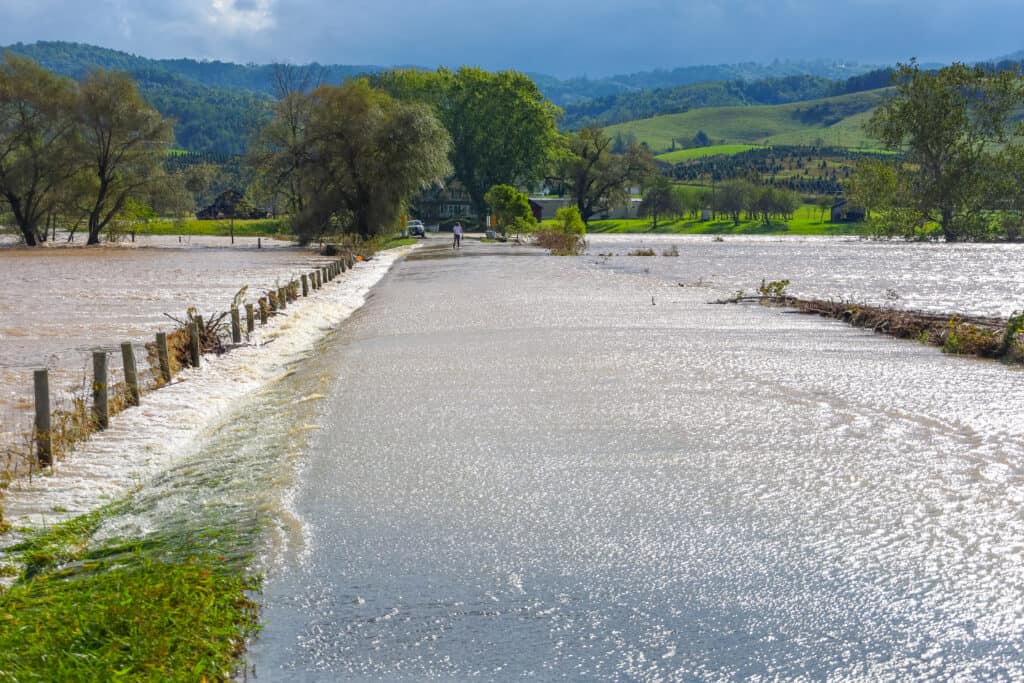
This is why flooding can and does occur outside of mapped high-risk areas.
Final Thoughts
Flood zones are a valuable planning tool, but they are only one part of understanding flood risk.
Knowing your flood zone helps explain insurance and lending requirements, but it should not be the sole factor in deciding whether flood insurance makes sense. Flooding can happen anywhere, and preparedness starts with understanding both mapped risk and real-world conditions.